EN
EN
 TR
TR
 DE
DE

Hiking the Lycian Way 2026: Complete Stage-by-Stage Guide
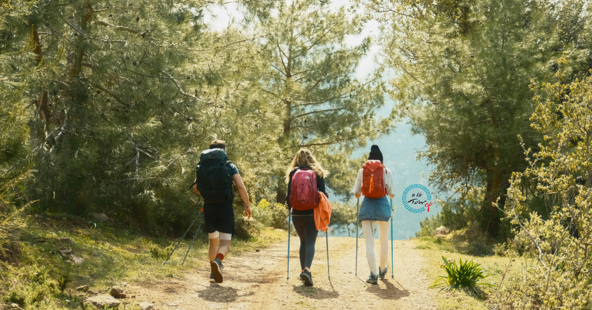
The Lycian Way is one of the world's great long-distance walking trails — ranked by Sunday Times as one of the top ten walks in the world when it was first published, and consistently rated among the finest coastal walking routes on earth. The 540-kilometre trail follows the coast of ancient Lycia in southwestern Turkey, passing through landscapes that combine antiquity and natural beauty in a way that few places in the world can match.
Most people walk it in sections rather than end-to-end. Here is everything you need to plan your walk in 2026.
What Is the Lycian Way?
The Lycian Way (Likya Yolu) was waymarked in 1999 by British resident Kate Clow and runs from Ölüdeniz (near Fethiye) to Antalya — a total of approximately 540 kilometres, typically divided into 29 stages of varying difficulty.
What makes it exceptional:
- The trail passes through or near more than 20 ancient Lycian sites — rock tombs, ruined cities, sarcophagi — many of them completely unguarded and freely accessible
- The coastal scenery alternates between clifftop paths 500 metres above the sea, descents to isolated coves with turquoise water, and inland routes through pine forests and olive groves
- Many sections pass through small Turkish villages that have changed little in decades — accommodation is available in family pensions (pansiyon) where the owner typically cooks dinner
- The trail is well-marked with red and white blazes (Turkish waymarking standard) — navigation is manageable without a guide for most sections
The Complete Stage Overview
The 29 stages range from 9 km to 24 km in length and vary significantly in difficulty. The following covers the most popular and most rewarding sections.
Section 1: Ölüdeniz to Faralya (Stage 1)
Distance: 9 km | Difficulty: Hard | Time: 4–5 hours
The opening stage immediately establishes the character of the Lycian Way — a steep climb from Ölüdeniz beach to the clifftop village of Faralya above Butterfly Valley. The views back over the lagoon from the ridge are extraordinary. This stage is short in distance but physically demanding — the ascent gains approximately 600 metres.
Accommodation in Faralya: Several family pensions with dinner included — the setting above Butterfly Valley is one of the most spectacular on the entire route.
Section 2: Faralya to Kabak (Stage 2)
Distance: 11 km | Difficulty: Moderate-Hard | Time: 4–5 hours
The trail continues along the clifftops above Butterfly Valley (visible below) before descending steeply to Kabak — a small cove community with a handful of camping and pension options. Swimming in Kabak's turquoise cove is one of the highlights of the early stages.
Stages 3–6: Kabak to Kalkan
Distance: 12–15 km per stage | Difficulty: Moderate-Hard overall
This section includes some of the most dramatic clifftop walking on the route — paths running along the edge of 300–400 metre cliff faces above the sea, with the islands of the Turquoise Coast visible below. The village of Bel (Stage 4) and the Gey Plateau (Stage 5) offer exceptional views and traditional village pension accommodation.
Stages 7–9: Kalkan to Kaş
Distance: 10–16 km per stage | Difficulty: Moderate
The approach to Kaş involves some of the best Lycian archaeological sites on the trail — particularly the Phellos ruins (Stage 7) and the Apollonia ancient city (Stage 8). Kaş itself is a natural rest stop with good restaurants, accommodation and facilities.
The Kaş section connects to our Aegean & Turquoise Coast tours →
Stages 10–13: Kaş to Myra (Demre)
Distance: 10–18 km per stage | Difficulty: Moderate-Hard
This section includes the Kekova area (Stage 11) — the partially sunken Lycian city visible from the path above and accessible by boat. The descent to Üçağız and the boat crossing to Kaleköy (Simena castle) is one of the most memorable moments of the entire walk. Stage 13 arrives at the ancient city of Myra with its extraordinary carved rock tombs and the nearby Sunken City.
Stages 14–18: Myra to Olympos
Distance: 10–22 km per stage | Difficulty: Moderate to Hard
Increasingly remote as the trail enters the area between Demre and Olympos — fewer services, more challenging terrain, some of the most peaceful walking on the route. The Chimaera (Yanartaş) — natural gas fires burning from the ground since antiquity, mentioned by Homer — is accessible from Stage 17. Stage 18 arrives at the ancient city of Olympos, buried in forest.
Stages 19–29: Olympos to Antalya
Distance: 10–24 km per stage | Difficulty: Moderate-Hard
The final section of the Lycian Way passes through the Beydağları range before descending to the coast and eventually reaching Antalya. The Tahtalı Mountain section (Stage 20–21, reaching 2,366m) is the most physically demanding of the entire route and requires good fitness. Stages 24–29 become progressively more accessible as the trail approaches Antalya.
Which Sections to Walk if You Have Limited Time
3–4 days (the best introduction):
Ölüdeniz → Faralya → Kabak → Patara → Kalkan. This covers the most dramatic early stages with extraordinary views, manageable logistics and good accommodation options.
5–7 days (adds the archaeological highlights):
Extend the above through Kaş and into the Kekova section — adds the Lycian ruins, the Kekova sunken city boat section and the castle at Simena.
10–14 days (the full classic section):
Ölüdeniz to Myra — the most rewarding extended section, combining dramatic coastal walking, Lycian archaeology and traditional village life.
When to Walk the Lycian Way
April and May: The best overall time. Wildflowers are at their peak, temperatures are comfortable (18–24°C on the coast), streams are running, water sources are reliable. The trail is at its most beautiful. Accommodation is available without advance booking in most villages.
October and November: The second best time. Temperatures drop to comfortable walking levels (16–22°C), summer crowds have gone, the light is excellent. Some pension owners close for winter from late November — book ahead.
March: Possible on lower sections; higher sections (Tahtalı, Bel Plateau) may still have snow patches. Carry a waterproof layer.
Avoid June–September: The coastal sections are extremely hot (30–38°C) for sustained hiking. The trail can still be walked in the early morning and evening, but full-day stages are genuinely punishing. If summer is your only option, start before sunrise and rest during the midday hours.
Practical Information
Maps and navigation:
- The official Lycian Way guidebook by Kate Clow is the standard reference — available from Kaş and Fethiye bookshops and online
- The Wikiloc platform has GPS tracks for the entire route uploaded by previous walkers — download before your walk for offline use
- Red and white waymarks are consistent throughout but can fade in exposed sections — the GPS track is useful insurance
Accommodation:
- Most villages along the route have at least one family pension (pansiyon) offering bed and dinner
- Camping is possible throughout the route and some walkers prefer it for freedom
- Book accommodation 1–2 days ahead in April–May to avoid the rare but possible situation of a full pension
Water:
- The route has water sources (springs, village taps) throughout, but some sections in summer are dry
- Carry minimum 2 litres; check water availability for specific stages in your guidebook
Difficulty and fitness:
- The Lycian Way is not technically difficult but is physically demanding — cumulative elevation on many stages is 400–800 metres
- Good fitness and proper footwear (ankle-support hiking boots) are essential
- Trekking poles significantly reduce knee strain on the steep descents
Getting to the start (Ölüdeniz):
- Fly to Dalaman Airport, then bus or taxi to Fethiye (45 minutes), then dolmuş to Ölüdeniz (20 minutes)
- Several AlaTourqo Aegean tours end in or near Fethiye — a natural starting point
Want to combine the Lycian Way with a guided cultural tour of Turkey?
Several of our Aegean and Turquoise Coast tours pass through Kaş, Fethiye and Ölüdeniz — ideal for walkers who want to experience the Lycian coast from both the trail and the sea.
Reach us via the WhatsApp button on the right side of our website — we respond within 24 hours.
Ready to Experience Türkiye?
Let our expert guides take you on an unforgettable journey across Türkiye's most stunning destinations.
Explore Our Tours